About Boat Ramp US
Boat Ramp US is an independent directory of public boat ramps across the United States - built on official USGS, state agency, and federal open data to help boaters find verified launch information before they hit the water. We currently track 15,683 public boat ramps across 25 states. More states are added as new official datasets are integrated and verified.
It started with a cluttered search
Search "boat ramp near me" and you'll find plenty of results - but look closely and the picture gets messy. Some directories pull in anything Google Places tags as a "point of interest" near water, mixing real launch points with museums, historic sites and even waterfalls. Others rely on crowdsourced map edits with no way to tell whether a ramp still exists, let alone whether it's open today.
We wanted something narrower and more honest: a directory built entirely on data that actually comes from the agencies who manage these ramps, with no guessing about what counts as a "boat ramp" and no pretending we know more than the source data actually says.
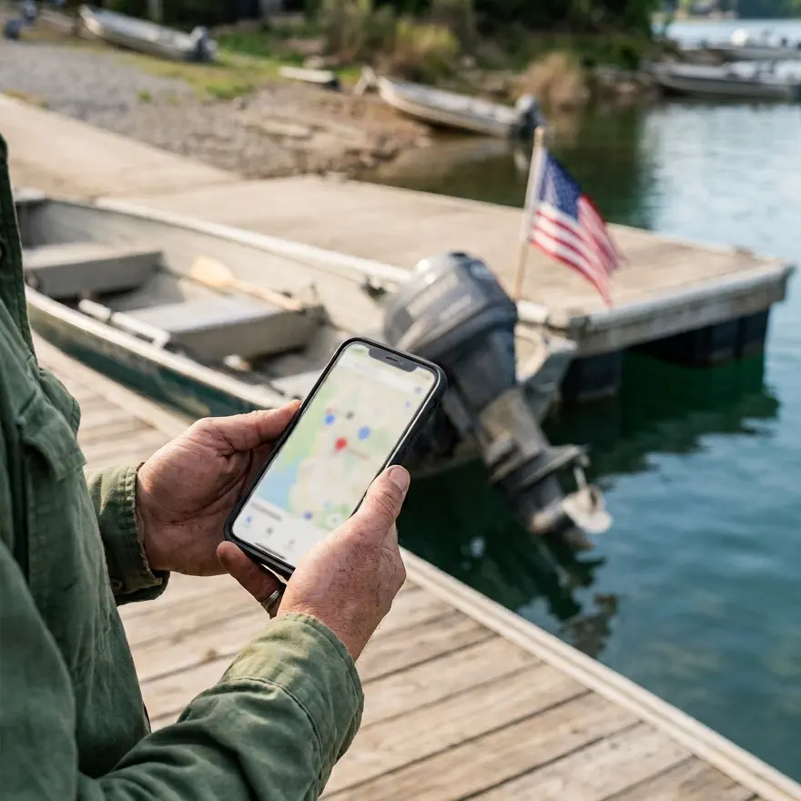
Federal and state open data made it possible
The foundation of this site is the U.S. Geological Survey's national boat ramp inventory - a GPS-verified dataset covering all 50 states, built by cross-referencing state agency records with satellite imagery. It's public domain, free to use, and it's the closest thing to a single authoritative source this country has for boat ramp locations.
On top of that base, we integrate dedicated state-level datasets where they exist and are genuinely richer than the national survey - see Data Sources below for exactly which states and what each one adds.
Who uses Boat Ramp US?
Boaters planning a trip
Checking fee, hours and access before driving out with a trailer.
First-time boat owners
Finding a nearby launch point and knowing what to expect before their first trip.
Anglers and fishing guides
Identifying every public access point on a specific lake or river, not just the popular one.
Researchers and local planners
Looking at public water access coverage across a county, state, or specific waterway.
How Boat Ramp US grew
Boat Ramp US has grown incrementally. Rather than trying to collect everything at once, we add new official datasets only after evaluating their quality, coverage, update frequency, and how well they complement the existing database.
National ramp database
Every USGS-verified ramp gets its own page - name, coordinates, waterbody, county - with a slug that doesn't change even as we add more sources on top.
State, county, and waterway hubs
Beyond individual ramps, we built hub pages by state, by county, and by waterway - since a river or lake often spans more than one county, and "nearest ramp" isn't always the same question as "same water."
Florida FWC integration
Florida's Fish and Wildlife Conservation Commission maintains its own dedicated boat ramp inventory - richer than the national survey, with real launch fees, hours, lane counts, surface type and amenities. We cross-reference it against our existing Florida listings rather than replacing them wholesale.
Michigan DNR integration
Michigan's Department of Natural Resources publishes live launch status, detailed parking and restroom counts, pier counts, and separate ADA accessibility flags for piers, parking, pedestrian routes and restrooms - currently the most detailed source we track.
Texas Parks & Wildlife integration
Additional coverage for Texas, cross-checked against the state's official public boat ramp inventory.
NOAA fishing site enrichment
NOAA Fisheries' MRIP Site Register catalogs public saltwater fishing access sites along the Atlantic and Gulf coasts, with details the base survey lacks - launch fees, parking counts, tidal influence, and nearby amenities like bait shops, cleaning stations and fuel docks. We cross-reference it by location against our existing coastal listings and use it to fill in gaps, never to overwrite what a state agency already told us.
County adjacency data
Using the U.S. Census Bureau's County Adjacency File, every county page links to its real geographic neighbors - not a guess based on distance, which can be wrong for oddly-shaped counties.
Editorial ramp descriptions
For select ramps with an official web page, we generate a plain-language description of the access point - written from the source's own page and cited back to it. No filler, no invented details.
What we stand for
No paid placement
No ramp, business, or agency can pay to appear higher in a list or to change its listed status. Ordering is based on distance, name, or verified data - never payment.
Full transparency
Every data source is named on this page, with a link to the original dataset and how often we sync it. Nothing is a black box.
Always current, honestly labeled
We show the exact date each ramp was last checked against its source. If we haven't confirmed something - a fee, an hour, a status - we say "not yet verified" rather than guess.
Sources, not opinions
We don't rate or review ramps ourselves. Everything shown comes from a government agency's own record, cited back to where it came from.
Our methodology
Every ramp on this site starts from a government-published dataset - never a crowdsourced edit, never a guess based on satellite imagery alone. When we add a new state-level source, we go through the same process every time:
- Confirm the source is an official agency dataset, not a third-party aggregation.
- Check field-level richness and data age before deciding whether it's worth integrating at all - several sources we evaluated (a federal recreation database, a state lands dataset) turned out to be too coarse-grained to trust and were never added.
- Match new records against our existing database by location and name, so a ramp already on file gets enriched rather than duplicated.
- Only mark a fact as confirmed (a fee, an open/closed status, an amenity) when the source explicitly says so - a blank field is treated as "not yet verified," never assumed to mean "no."
- Re-sync on a schedule (see the table below) so listings don't go stale.
Some of our data reflects a one-time national survey (USGS) rather than a live feed - where that's the case, we say so plainly rather than implying a freshness we don't have.
Weather and water quality context
On ramp, county, and waterway pages where it's meaningful, we also show two kinds of context data that sit apart from our core ramp facts, since they come from different agencies and change on a different rhythm:
- Current weather, from the National Weather Service (api.weather.gov) - the nearest station's actual current conditions, not a forecast for later in the day.
- Water quality, from the EPA's ATTAINS program - the same data behind the EPA's own How's My Waterway tool, summarizing what percentage of a watershed's monitored waters are in good condition versus impaired.
Water quality assessments are a snapshot, not real-time monitoring - conditions in any specific spot can differ from the watershed-wide summary, and can change at any time. We show this data for general reference only; for anything safety-related, check current local or state advisories directly.
Who is behind Boat Ramp US?
Boat Ramp US is developed and maintained by Space Bits, S.L., a technology company based in Manresa, Spain.
- Company
- Space Bits, S.L.
- Tax ID (NIF)
- ESB64776271
- Address
- Crta. de Vic 96 1-1, 08241 Manresa, Barcelona (Spain)
- Registry
- Registre Mercantil de Barcelona, Tom 40.275, foli 0130, full 361.916
- Contact
- hello@boatramp.us
Data sources
| Source | Sync frequency | What it adds |
|---|---|---|
| USGS National Boat Ramp Inventory | As republished | Base national dataset - name, location, waterbody, county, all 50 states. |
| FWC Florida Boat Ramp Inventory | Weekly | Fee, hours, lane counts, surface type, amenities, contact info for Florida. |
| Michigan DNR Boating Access Sites | Weekly | Live launch status, parking & restroom counts, pier count, ADA accessibility for Michigan. |
| Texas Parks & Wildlife Department | Weekly | Additional ramp coverage for Texas. |
| U.S. Census Bureau County Adjacency File | As republished | Real geographic neighboring-county links, not distance-based guesses. |
| EPA ATTAINS | Weekly | Watershed water quality summaries, shown on ramp, county, and waterway pages where available. |
| NOAA MRIP Site Register | Weekly | Coastal site enrichment - fees, parking, tidal influence, and amenities (bait, cleaning stations, fuel) for Atlantic and Gulf ramps. |