Find Public Boat Ramps Near You
Verified public boat ramps near you: search by state, county, city, waterway or ramp name, or use your current location.
Popular searches:
Finding a public boat ramp shouldn't mean relying on outdated or crowdsourced maps. Boat Ramp US helps you find verified public boat ramps using official U.S. federal and state agency data.
Explore the public boat ramp map: select a state to browse its launch sites by county and waterway.
We're reviewing and publishing boat ramps state by state to ensure every location is verified against official federal and state agency data.
- 15,683 verified ramps published
- Alabama now available
- Alaska now available
- Arizona now available
- Arkansas now available
- California now available
- Colorado now available
- Connecticut now available
- Delaware now available
- District of Columbia now available
- Florida now available
- Georgia now available
- Hawaii now available
- Idaho now available
- Louisiana now available
- Michigan now available
- Minnesota now available
- Mississippi now available
- New Hampshire now available
- New York now available
- North Carolina now available
- South Carolina now available
- Tennessee now available
- Texas now available
- Virginia now available
- Wisconsin now available
- More states added regularly
Verified Coverage
15,683 verified public boat ramps are already live. New states and counties are added every week (59% of all identified ramps so far).
Browse public boat ramps
Browse boat ramps by state
Find verified public boat ramps across the United States, organized by state.
Recently verified ramps
Every listing shows the last time its data was checked against the source - no stale directory entries.
How we verify our data
Boat ramp access changes - closures, new fees, damaged infrastructure. Here's exactly how we keep this directory honest.
Federal & state sources
Base data comes from USGS, the Bureau of Reclamation and official state agency registries - not user submissions alone.
Synced on a schedule
Data last updated October 13, 2026, with listings checked against the source on a recurring schedule.
Cross-checked, not guessed
Status and access details are cross-referenced against satellite imagery and agency records before publishing.
Free, no paywall
Every ramp listing is free to browse. No membership required to see fees, access or location details.
Not every state's detail looks the same, on purpose. Florida's listings pull from FWC's own boat ramp inventory, with real launch fees, hours and lane counts. Michigan's come from the DNR's boating access database, right down to restroom type and live launch status. Every other state currently runs on USGS's national survey, cross-checked against Bureau of Reclamation and Army Corps of Engineers records - and we're adding state-level detail every month. See our full methodology for exactly what's confirmed where.
Data sourced from
USGS · U.S. Army Corps of Engineers · Bureau of Reclamation · NOAA Fisheries · Florida FWC · Michigan DNR · Texas Parks & Wildlife
Help keep America's boat ramp database accurate
Join the project - report a missing ramp, a closure, or an outdated fee, and we'll verify it against the source.
Report a boat rampBuilt for people who love the water
Finding a public boat ramp shouldn't require searching through outdated forums, incomplete maps, or directories that mix launch sites with unrelated places.
Boat Ramp US makes it easier to find verified public boat ramps across the United States using official federal and state agency data.
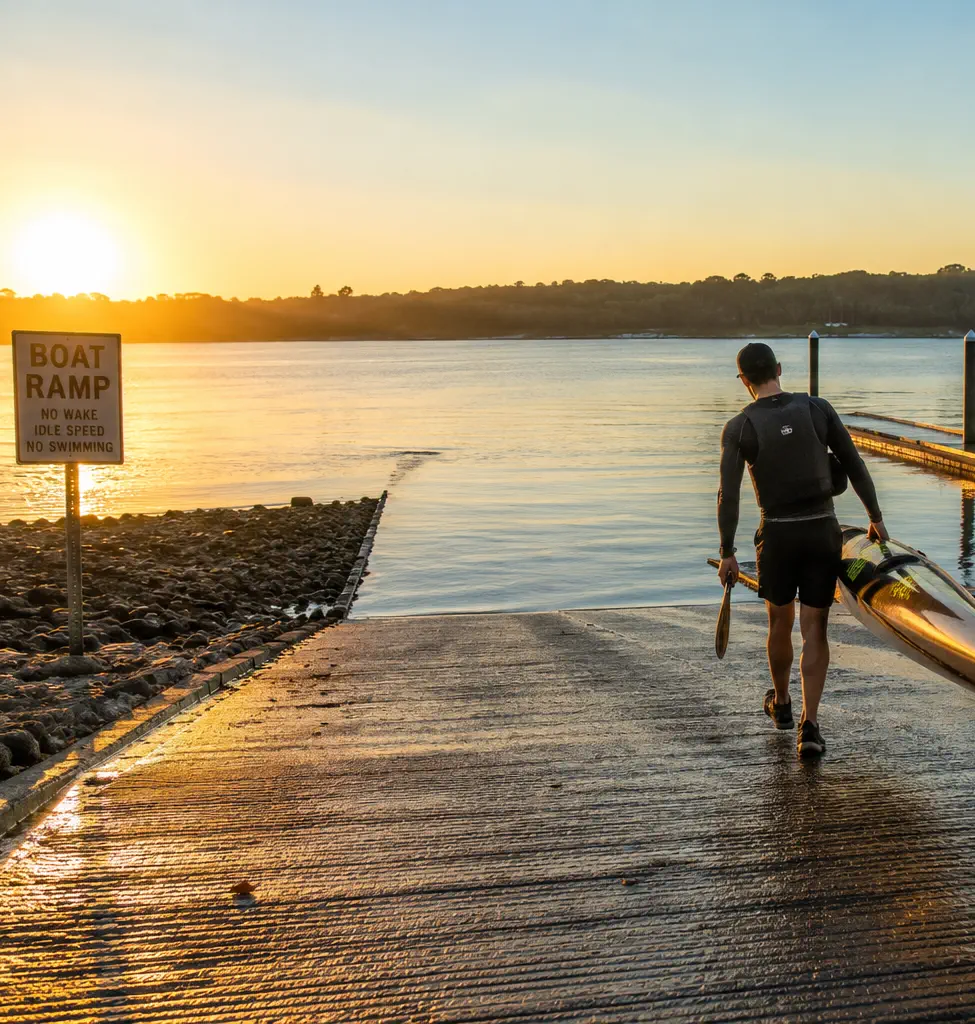
Whether you're launching a fishing boat at sunrise, taking a kayak out for the afternoon, heading to a favorite paddling spot or towing a family boat for a weekend on the water, Boat Ramp US helps you find a verified public launch before you leave home.
As more state agency datasets are reviewed and verified, new public boat ramps, waterways and county pages are published across the United States.
Sourced from official state and federal agency records.
Data on this page was last updated October 13, 2026, based on the latest ramp data update.